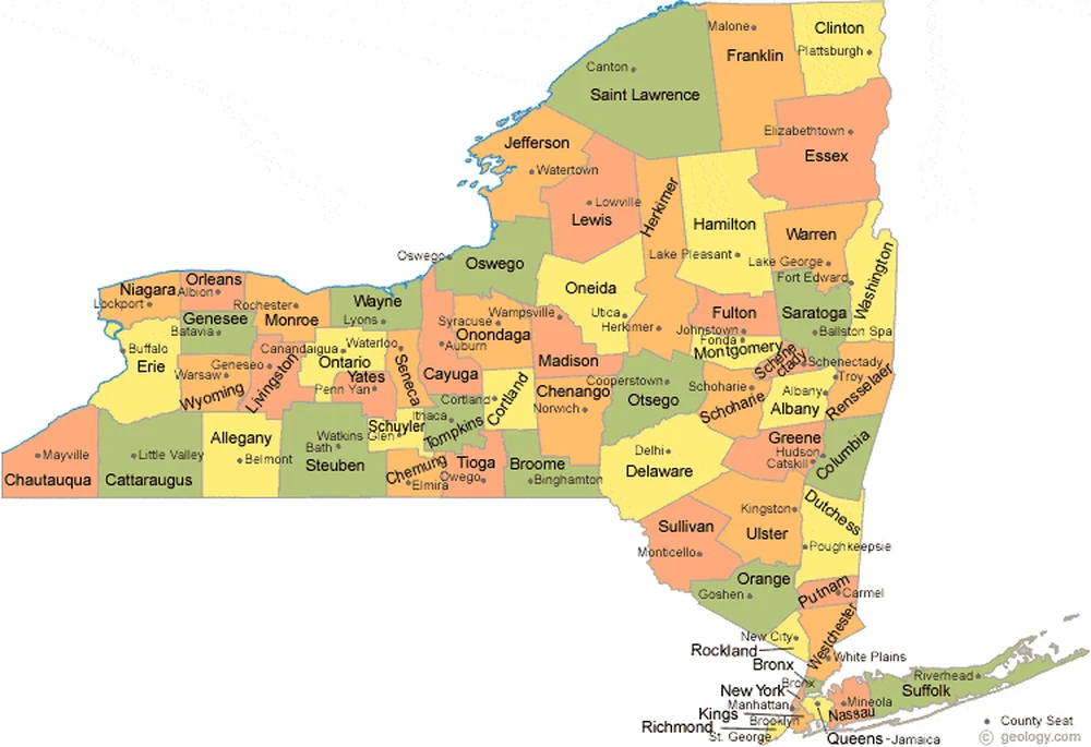
Map of New York
With more than 8 million people living on just 302 square miles of land, New York City can be an intimidating place to navigate – especially for first-time visitors. But the right map can make all the difference, helping you find your way around with ease. From street maps to subway maps to digital options, there are many types of maps that can help tourists and locals alike figure out this sprawling metropolis.
How to Navigate the Big City With The Right Map: An Essential Guide to Getting Around New York City
In this guide, we’ll explore the different New York City maps available and discuss which options work best for different situations. By the end, you’ll know exactly what type of map you need to feel comfortable getting around the Big Apple.
Street Maps for the Basics
If you only get one map of New York City, make it a street map. Street maps show the layout of the city at a granular level, with individual streets, blocks, and neighborhoods clearly labeled. They are essential for anyone who wants to travel on foot in New York.
Among the best dedicated New York City street maps are the following:
• Streetwise Manhattan Map: This laminated street map covers Manhattan with a high level of detail. It includes a directory of neighborhoods, attractions, and transit options.
• New Yorker’s Manhattan Map: This map has a similar level of detail as the Streetwise map but is slightly smaller and softer. It also includes separate subway and bus maps.
• Official NYC Visitors Map: While not laminated, this free map from NYC & Company provides the basics and is a good budget-friendly option.
Subway and Transit Maps for Public Transportation
Of course, most people get around New York City using public transit. Having a subway map and/or a bus map can make trip planning and navigation much easier. Look for a map that shows:
• All subway lines in the city, with stations clearly labeled.
• Bus routes clearly marked.
• A legend explaining symbols and color coding.
The best subway and transit maps of New York are often included alongside street maps. But if you prefer a dedicated transit map, the MTA also provides official versions you can print or view on their website.
Digital Mapping Apps for On-the-Go Navigation
Sometimes the old-fashioned paper map just won’t cut it. That’s where digital maps come in, providing up-to-date, interactive navigation right on your phone or tablet. The best mapping apps for New York City include:
• Google Maps: The default map app for Android users provides excellent navigation and transit directions for New York City.
• Apple Maps: Apple’s mapping software offers a clean, easy-to-use interface and accurate New York City directions.
• Citymapper: This transit-focused app provides extremely detailed New York City subway and bus info, plus walking and biking directions.
• Hopstop: Another transit app, Hopstop shows you multiple public transit routing options between any two places in the city.
• MAPS.ME: This popular offline mapping app lets you download New York City map data to your phone in advance, so you have turn-by-turn navigation even without service.
With millions of New Yorkers and visitors using these applications daily, digital maps have become an indispensable tool for navigating the city.
Free Printable Neighborhood Maps
Even the best maps of New York City often only cover Manhattan in detail. But if you want to explore a specific neighborhood in any of the city’s boroughs, a dedicated neighborhood map can be extremely helpful.
Luckily, TripSavvy provides free, printable neighborhood maps for several New York City areas, including:
• Midtown East
• Midtown West
• Upper East Side
• Upper West Side
• Chelsea
Each neighborhood map clearly shows major streets, subway stations, parks, attractions, and other points of interest – everything you need to explore a particular NYC locale on foot.
Choose the Right Map for Your Needs
By now, it should be clear that there is no single “best” map of New York City. The right map for you depends on how you plan to explore the city – whether on foot, using public transit, or both.
For overall orientation and walking around, start with a proper street map. For transit navigation, pair a street map with a subway or transit map. If you prefer the convenience of your phone, download mapping apps like Google Maps or Citymapper. And if exploring a specific neighborhood, print out a TripSavvy neighborhood map.
Armed with the right New York City map, you’ll be ready to navigate this huge city like a local – saving time, reducing anxiety, and making the most of your Big Apple adventure. With the right map to guide you, New York City truly becomes yours to discover.
